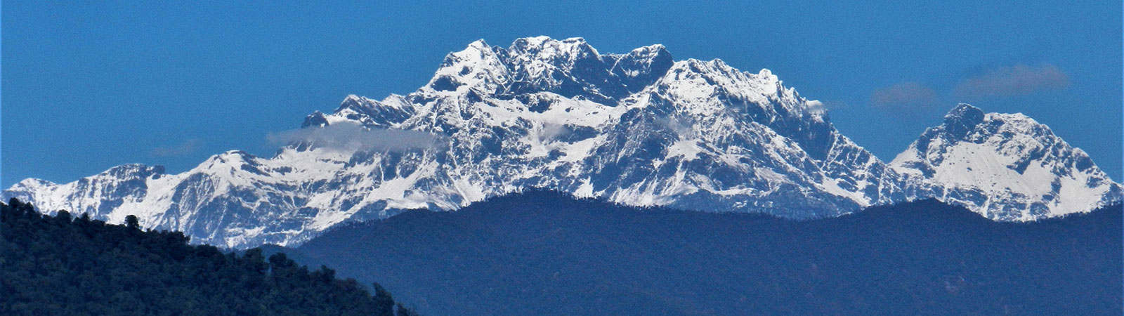
Holy Takpa Siri mountain
Share on Social
TREKS TO PASSES ON INDIA – BURMA BORDER
Hoot Pass and Pangsu Pass
2011
The Patkai range, in the eastern India, divides India and Burma, with Pangsu pass as a low point on the ridge. Both side of the range is thick jungle. The range is much smaller in height compared to the Himalayan range, but it is no less difficult in terms of difficulties of travel. To the north, the range follows an easterly curve to meet the Kumon range joining it from Burma. This meeting of the ranges is near the Chaukan pass which has as much historical significance as the Pangsu. The Kumon range continues northwards to meet the Hkakabo Razi group of peaks near the Diphu pass. These two ranges divides Burma (in the east) with India (in the west). Apart from these major passes there are several other passes that allows passage across these ranges; namely Siddi, Hukawng, Shwangshan, Hapungan, Khumjawang and passes known only to shikaris like Hoot, Mugaphi, Gaphuka and many others in the latter category.
Frank Kingdon-Ward undertook many exploratory journeys on both sides of these ranges, crossing and re-crossing passes like Diphu several times. Those days borders between India, Burma and China were not strictly enforced and he happily roamed here in search of new mountains, botanical specimens and detailed scientific observations. We and science owe a lot to him about knowledge of these unknown valleys, through his numerous books and papers. He was trapped in the Lohit valley when, in 1950, the major earthquake of 9.6 on Richter Scale cut off these areas. For the first time there was renowned scientist near the epicentre of an earthquake and survived to record it for science.
Over last two years I visited and trekked in the areas adjoining the border with Burma, reaching three passes on the border.
Exploring Lapti Valley near Burma-2011
The first approach to the Burmese border was through the Lapti valley in October-November 2011.
The trail is located in newly formed Anjaw District (on the Lohit river), Arunachal Pradesh. It is near the Rima-Kahao border with China on the Lohit river. Hawai is the new District Headquarters. If the sea and local dances grace the well known Hawaii (USA) in the Pacific, here at Hawai, mountain scenery matched the beauty of the sea and traditional people and their dances were no less attractive.
This area, contains the plateau opposite Walong, which is called the ‘Burma Hump’. During the World War II several planes crashed on this plateau as old aircrafts could not gain height and malfunctioned at the altitude. Remains of many planes lie scattered in the upper Lapti valley too, but now most parts are taken out by search parties and locals.
Ours was a beautiful exploratory trek. We descended steeply to the Lati river valley to reach the village Kamlat. After arranging porters we turned north to its tributary, the Lapti from village Kamlat. Trek was strenuous and the route climbed steeply- and as a result we had to descend steeply on the way back, on wet – slippery ground. But the forest and being on an remote trail to Burma was an inspiration. Beauty of forest in autumn colours made camping grounds of Tafam and Kushok almost a paradise. The trail led us to Hoot pass which crosses into Burma and in few days would have lead us to Fort Hertz (Putao) in the Myanmar (Burma). F. Kingdon-Ward has written about the Lohit valley and the book The Icy Mountains of Burma, cover these mountains on the border. A few of these peaks we observed on our way back. We came across two villages and they were almost a generation behind and what we call ‘progress’ had not reached them as yet. No trekkers seems to have come here though we heard some rumours of a party trekking here before. On the way back I fell almost 50 m (150 feet), on loose wet gravel covered by shrubs/bushes. I just could not hold on to the bushes falling head first, and gathered speed, passed over one slab after the other- all were downward sloping luckily. Then came to a halt on a small grassy patch and finally rolled over gently on a crop of huge rocks. It would have been a different ending if I had reached these rocks even at a little speed! Though I was bleeding profusely through my nose and was covered with many scratches all over the body, except for one sharp hit on my right hip I was saved. Dinesh Purandare reached me in a flash with other porters, and I could get up on my feet in about half an hour. I climbed up the steep slope to reach the main trail and then with the help of sturdy Mishmi porters walked down to the camp in a painful four hour trek. Medicines reduced the pain and next day I walked down to the roadhead from where a taxi took me to the Hawai rest house. A day of rest, two days of rough car journey, a night in the train and a five hour flight followed and I was home !
These areas are wonderful, not visited by trekkers and have some of the finest virgin rain forest, leading to the Alpine forest full with pines in the upper reaches. The high altitudes lakes are an attraction. It offers a most exhilarating experience and—not everyone has to have a fall.
In January 2013 I returned to the area with a different group of friends. We proceeded to the eastern-most point of India and along the India-Burma border. First was a ride on the oldest and eastern-most train route in India from Guwahati to Ledo, now a modern but deserted train station. Trains end here, but it used to go till Lekhapani a few kilometres ahead. Two kilometres ahead of Lekhapani, at ‘Burma camp’, the famous ‘Ledo Road’ or ‘Stillwell road’ started.[1] This road was built at great cost and labour across the Pangsu pass to Burma. It was named after Gen. Stilwell who was instrumental in its construction. The goods to support the war in Burma were loaded on trucks from here and were carried to Kunming, China- then an ally of the British. A lot has been written about this road, and it was a nostalgic place to stand at and recall old history.[2]
From Ledo, at first we drove back to Margherita with nostalgic mentions in history, but now it is a sleepy little town which has no charms except this catchy name. Ahead was Digboi, where the first oil well in India was discovered. As the story goes, when the well was being dug a British officer riding a horse encouraged the workers by shouting ‘Dig boy, dig’. This was changed to Digboi, the present name. Oil was stuck on 19 October 1889 and the well was abandoned in 1932. An oil Museum, and a well kept war cemetery nearby are worth a look.
We spent a night at Jairampur (named after Jairamdas Daulatram, former benevolent Governor of Assam, which included Arunachal Pradesh then). Nearby was a new cemetery recently discovered in the forest, containing many graves of the allied soldiers. It had remained hidden in thick foliage. After another night at near Nampong, we drove to to the Pangsu Pass, on 10th January 2013 to cross into Burma.
Pangsu Pass (1136 m)
During the Second World War, the Japanese advanced into Burma in 1942. They overran the allied forces, forcing them to retreat in a hurry. It was a very disorderly retreat in face of the fast advancing enemy.
To reach safety of the British India from pursuing Japanese troops, the refugees and returning army had to cross the Pangsu pass, on the Patkai range, which divides India and Burma. It was a disastrous and hard journey. Soldiers and several civilians had to trudge through deep sticky mud, a curse of this frontier. Many times they sunk till their waists in the soft mud, going on without much food, ravaged by malaria, lashed by the monsoon and a variety of ailments. The rainforest was dense and the rivers were flooded. A large numbers of refugees came across the Pangsu and though it was a lower pass, it was a steep climb and through knee-deep mud. This historic gateway was nick named ‘Hell gate’ by soldiers.
The Pangsung village was about 3 km inside Burma.[3] The road was atrocious and one is not allowed to drive on the Burmese side. Burmese boys were ferrying goods from the Pangsu pass to the villagefast moving motorbikes. We enjoyed Burmese food and saw the small bazaar that had sprung up for this day. The Burmese military boys (yes they were very young) checked our permits and ensured that no camera or mobile phone was carried inside their territory. Now the road is being widened to a four lane highway and it is planned to be the Asian Highway connecting India with southeast Asia. Looking at conditions today this is a far away dream.
Lake of No Return (Nawng Yang in Burmese)
It was nostalgic to see the ‘Lake of No Return’ , in plains of Burma from here. It was a vast lake, the only clearing in thick forest. During monsoon vast surrounding areas would fill up with water too, making it a giant lake. When they developed engine trouble, the planes flying across the ‘Burma Hump’ tried to land on these waters, their best chance of survival amidst thick forest all around. Most of them did not return to tell the story.
Few more stories explain the name of ‘Lake of No Return’. The second has it that a group of Japanese soldiers returning from battle lost their way and ended up at the lake. There, they were stricken by malaria and died and hence it is called the Lake of No Return. According to a third story, US army soldiers, working on the Ledo Road, were sent to examine the lake and got trapped by the undergrowth and perished trying to escape. A fourth story says this is the ‘lake of no return’, because retreating British troops in 1942 got lost in quicksand. Adding myth to legend, one author claimed he had encountered the name on a document written by one of the Ten Lost Tribes of Israel, which he claimed still hides out in the area. [4]
By late afternoon we returned to Nampong and drove a short distance to Miao (via Jagun) to start preparing for our venture to another historic pass, the Chaukan pass. Miao is the major administrative centre with government and Namdafa National Park offices. Permits had to be obtained from here. It has rather mixed population as Chakma refugees (Bangladesh refugees) were settled here around Miao since 1971.
Members: 2011 party: Dinesh, Nandini and Uttara Purandare, Atul Rawal and Harish Kapadia.
Period: 25 October to 6 November 2011
[1] There is confusion in names. Lekhapani is the name of the last railway station, starting point of the Ledo road and home of army camp from where the Burma war effort was helped. Likabali is an army station, north of Brahmaputra, across from Dibrugarh. Both are in Assam.
[2] The Burma Road, by Donovan Webster. (Pan Macmillan, Oxford, 2003)
[3] Indians are allowed till here on 10th, 20th and 30th of every month. Burmese are allowed into India till Nampong on every Friday.
[4] An Indian newspaper The Telegraph reported, in a story on the possible reopening of the Ledo road in 2007, that ‘close by [Pangsu] is the Lake of No Return — the local Bermuda Triangle. According to folklore, aircraft that fly over the lake never return.’ The lake’s reputation is advertised in hopes of making the area more attractive to tourists ? Who knows, the ‘Indian’ Bermuda Triangle might just turn out to be the next tourist-puller of the region!