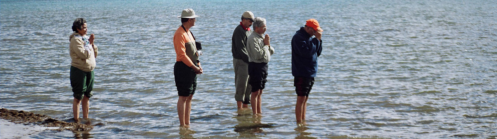
Pilgrims at Manasarovar lake
Share on Social
MUKTINATH
(1965)
Generally Muktinath is visited from Pokhara. But Zafar, Vinod, Amit and I decided to trek from the southern border of Nepal, northwards. From the Terai to the Himalaya was our aim.
19 March 1965: In the afternoon we were at Varanasi, the first stop on our 45-day outing. We took a train to Nautanwa (via Gorakhpur), a border town in Bihar. It took a comparatively shorter journey of two hours. We hired rickshaws to Sunauli (8 km), on the India-Nepal border. As it was Saturday, a public holiday in Nepal, the customs officials were conspicuous by their absence.
After the usual formalities were done with, we travelled by bus to Butwal (28 km). The roads were totally unworthy of even a rickety old bus, but our Sardarji driver was not in the least perturbed by the fact. He drove merrily on. The ride was enjoyable for Vinod and myself, for we were compelled to sit on the roof of the vehicle. It was impossible to sit inside it. From our unstable perch we saw our first sunset in Nepal. The ride lasted nearly two hours though the distance was short. It was already dark in Butwal when we reached and we took shelter in a small primary school. We lost no time in going to the firm of M/s Sherchand Bros., about 2 km across the river. We met the manager, Rudrabilasji, and asked him to help us find the porters. He promised to do so the next day. We returned to the school.
21 March: We went to Rudrabilasji early in the morning. After some time his assistant called two young men who, he claimed, were going to work for us. The porters demanded exorbitant rates (NRs. 12).1 But Bilasji gently bargained on our behalf. At last the contract was signed for NRs. 10 per day, and they would provide food for themselves. By then it was almost noon and we returned to the school after changing our Indian currency into Nepalese rupees.
Around 4 p.m., we went back to Rudrabilasji to collect some letters of introduction. He had insisted on our carrying them with us. We hardly thought they would be necessary but as we did not have anything else to do we went. These very letters subsequently saved us a lot of harassment from the local chiefs.2
22 March: We set off for Ranibas en route to Muktinath. Our porters Amarbahadur and Virbahadur came well in time. They both carried nearly 35 kg each whereas Zafar and I carried 20 kg each. It was rather heavy but we were determined to carry the load as a measure of economy. Soon, we came across two landslides. After Deoban (7 km), there was a steep and difficult climb. Slowly and steadily we progressed and came to Ranibas (12 km) at noon. We found a camping-site about half a km away.
23 March: The second day’s destination was the well-known village of Tansing (20 km). After a steep climb of 2 km, we came to Murrek village. By then the sky was overcast and in a few minutes it began to rain. We waited for nearly an hour before it stopped. In the course of the day we passed several small villages like Swasni (3 km), Masyam (6 km) and Nayapatti (14 km). We reached Tansing after a final ascent of 350 m. It was a big village where we rented a house for the night, as the winds were strong and threatening.
24 March: We were up early. We paid NRs. 10 as rent and commenced on our walk. Our plan was to go to Birgha (20 km). After an initial climb of a kilometre there was a gradual descent to Ranighat (11 km) through a forest on the bank of a river. We crossed the river and camped on the other side.
25 March: We had to go to Setibeni khola (20 km). The first 5 km had a steep climb of 450 m. On the top of the ridge, was Waiga village, from where we could see Birgha village down in the valley about 3 km away. Our walk to Birgha was easy and from there to Mirmi the path was almost straight (5 km). Thereafter it was a steep descent to Andhi khola, followed by a steeper 2 km long ascent to Mohandanda. We ached all over and decided to halt for the night. Our camp was 5 km short of Setibani.
26 March: In spite of the rain we did not delay our departure for Bachha (18 km). The terrain was rather difficult up to Setibeni and even further up to Behadi (12 km). Again, we stayed 2 km short of our day’s goal, the village of Bachha.
27 March: We thought this would be a holiday of sorts as Falebas was only 8 km away. But we had to struggle for nearly four hours to get there. This was supposed to be the finest place on our route. Not the least! We had obviously been misinformed. Not a drop of water in the vicinity! One had to go 2 km and 150 m downhill into the valley to get drinking water. We did not wait even for two hours tired though we were, and forced our protesting muscles, limbs to move. The nearest source of water was unfortunately not less than 5 km away on the bank of the river Modikhola-Madhubeni. It was almost 5 p.m. when we pitched camp and we were drained as much psychologically as physically.
28 March: Without bothering to make morning tea, we packed to move. We headed for Bagloong (12 km). The route all along ran parallel to the river. At one point we saw a strange sight: there were corpses neither buried nor cremated but kept on the bank of the river and allowed to decay. No wonder the porters were not drinking the river water. A little before Bagloong we met an American Peace Corps Volunteer, Jerry Young.3 At about 1 p.m. we came to Khanneghat. As Bagloong was way off, up on a ridge, the porters advised us to pitch our tents on the bank of the river in the valley. We, too, decided it was better to rest here possibly for the following day as we were really fatigued.
30 March: Refreshed, rested, ready to move. We intended going to Beni (10 km). The route was again along the riverside and soon we were in Beni with our energy and enthusiasm intact. So we decided to proceed further. But before that we had to do some shopping. We went to a person for whom Bilasji had given a letter of introduction. Whilst there, a policeman materialised from heaven knew where and started arguing that we had entered Nepal without the permission of His Majesty’s Govt. We showed him our permits but he was not appeased. He ordered us to go to Bagloong to get a permit from a local officer. We tried to persuade him to change his mind but to no effect. At last Bilasji’s man-on-the-spot came to our rescue. He argued for nearly two hours with the policeman and in the end gave an assurance in writing to the police that we would behave ourselves and stated that we were not dangerous to Nepal. The significance of such ‘introduction letters’ dawned upon us. We left the town and went to Rakhu village (4 km).
31 March: It had rained for almost the entire night and our departure was unavoidably delayed. We had to go to Tatopani (18 km) and there was only one village on the way, Tipling. The route was not frequented. It started raining in the evening and we decided to stay in a house at Tatopani. There was a route to Pokhara from here.4
1 April: The rains held us up till 10 a.m. Although it was only drizzling we did not feel stepping out for we had no raincoats. I was not feeling well; my stomach ached. When the drizzle stopped, we moved but only till Dana (8 km). It was raining in Dana, so we were forced to find a house in town. We had decided not to stop there because the town had a Police Commissioner whom we were wary of. For the second time we went to a person who Bilasji knew. We had given our letter of introduction already. He was happy to meet us. As expected, the Police Commissioner paid a visit. He glanced at our luggage, was satisfied that we were no danger to Nepal and permitted us to go ahead. My stomach was no better in spite of taking medicines.
2 April: My deteriorating condition allowed us to cover only 3 km. I was feeling giddy. We were forced to pitch the tents near a waterfall. At 3 p.m. it poured. Our tents began to leak. We were wet and miserable.
3 April: We were up rather late because it was not possible for us to start before the tents dried anyway. The weather was perfect, the clear sky was blue and the sun was warm. We were able to start off by noon. By the time we reached Ghada it was almost 4 p.m. and we pitched our tents in the compound of a school.
4 April: The sky was bright. We intended to go to Tukuche (15 km). Hardly had we gone a kilometre and we could see snow-covered peaks in front of us—The Dhaulagiri range. We moved on and saw Machhapuchhre. The last 4 km covered a flat terrain strewn with pebbles and stones. We could see the tiny houses of Tukuche far away on the horizon. It was a tiring walk to Tukuche. The town was deserted, the houses locked. The few people present told us that the rest had gone to the plains for the winter. We stayed in a palatial building, well protected from the nocturnal rain.
We were tired of the damp and wet surroundings and so we asked around for horses so that we could reach Muktinath without much trouble. The horses were rather expensive not less than NRs. 120 each. There was no other alternative.
5 April: We got up early for the return journey. The sky was clear and the peaks looked beautiful. A day-long march brought us back to Ghada, in body and mind. The school’s compound was being used for some festive celebrations. We thus had to find a house to spend the night in.
6 April: We went to Tatopani. Dana was on the way. We were in Tatopani by afternoon. We camped by the river.
7 April: We took the bifurcation to Pokhara, turned eastwards and crossed the river. In the distance we could see Ghorepani, our day’s destination (3355 m; 18 km). It was a continuous climb to Ghorepani pass. We reached there late in the afternoon. The place was cool and lovely. We pitched the tents in a dense forest, near a shepherd’s house.
8 April: We headed for Birthate (1070 m; 20 km). The route was downhill and reached a river. For the next 8 km the road went along the river all the way to Birthate. It was quite hot there and we felt it more because we were 2750 m lower than the previous day. We put up for the night on the bank of the river. It was our last night in tents because we were to be in Pokhara the next day.5
We were up at 4.30 a.m. because we wanted to reach Pokhara as soon as possible and avoid the heat. Pokhara was 20 km away at a height of only 760 m. There was a steep climb for nearly 2 km. After that it was a straight road to Pokhara. We could see the great lake of Pokhara from a distance. As expected, the temperatures were high. After walking 10 km we came to Navdanda. We reached Pokhara at 4 p.m. We thought it would be a big town. We were wrong. A few small huts were the only buildings to be seen. No food was available anywhere other than the airport.
11th April: We managed to get a place on the afternoon flight to Kathmandu (155 km, or 45 minutes for NRs. 72). We journeyed by road to Raxaul in Bihar and from there by train to Bombay.
Notes & References
- As students we found everything expensive. Even though Indian rupee was far stronger against the Nepali rupee then, such rates were worth bargaining for. Of course we just cannot think of such rates in the present days.
- This was a typical practice in India and Nepal at that time. These introduction letters can almost see you through anything and any situation. It is also customary to obtain money through such letters, if you do not intend to carry too much cash in person.
- Peace Corps were in full strength in Nepal in these years. The scheme was popular in the USA. Young student volunteers would visit Nepal and participate in rural development. They will spend a year or two getting experience of the rural life while helping the villagers.
- Pokhara is now connected by motorable road from here. Nearby from here a route bifurcates for the visit to the Annapurna South Base Camp, a popular trek.
- With five-star hotels, several resorts, many daily flights and scores of hotels Pokhara is a different place today!