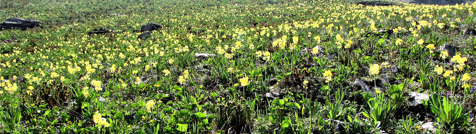
Flowers
Share on Social
RAMBLINGS IN CHHOTA BANGAHAL
No scenery, in my opinion, presents such sublime and delightful contrasts. Below lies plains, a picture of rural loveliness and repose; the surface is covered with the richest cultivation irrigated by streams which descend from perennial snows, and interspersed with homesteads buried in the midst of groves and fruit trees. Turning from this scene of peaceful beauty, the stern majestic hills confront us; their sides are furrowed with precipitous water-courses; forests of oak clothe their flanks, and higher up give place to gloomy and funereal pines; above all are wastes of snow, or pyramidal masses of granite too perpendicular for the snow to rest on.
Mr. Barnes, on Dhaula Dhar and Chhota Bangahal: p.9
Gazetteer of the Kangra District, Part I. Kangra (1883-84)
The Dhaula Dhar range, from its junction with the Pir Panjal range, proceeds east-northeast, defining the Ravi and the Beas river watersheds. The range meets the Bara Bangahal ridge and continues to northeast till Peak 4602 m, (Dainasar peak) at foot of which lies the historic Dainasar lake. This part of the range is crossed by the old Bajauri pass to a point below the Sari pass to form a boundary between Bangahal and Kullu. From the Dainasar peak, the range takes an almost 90 degree turn to the north to be called ‘the Beas Kundi Dhar’ and ends near the Taintu pass or Mukerbeh peak. Down below in the plains, the road from Mandi to Kullu-Manali also takes a sharp northerly turn, almost parallel to the range.
This range was recognised by General Cunningham, in his account of The Great Mountain Chains of the Punjab as the first part of the chain which designates the outer Himalaya.
‘Geography makes history all the world over, and nowhere is this more palpably true than in the Himalaya,’ wrote Captain Todd, mentioning legends and history of the Kullu, Mandi and Kangra kings who ruled the states. (Bruce, p.203) As the history stretches in centuries it is futile to recall all the kings and rajas. Some salient aspects of the history of these high valleys explains few events.
One of the many valleys ruled by Kullu rajas was the Bangahali kingdom. Today little is known about how these valleys were given the unusual name of Bangahal. The Gazetteer mentions that ‘progenitor of the family (that ruled Kullu) is stated to have been one Behangamani, brother of a Kulu prince…… whose family ruled for eighty-seven generations till deposed by the Sikhs in 1840.’ ‘Behangamani’ dynasty was the origin of the title Bangahal. The history of the Rajas and princes is too complicated to be of any use for those interested in its mountains. (Gazetteer II, p.16)
Just as several Queens were beheaded in European history, the Bangahali kingdom has a history of many queens forced to perform sati (being burnt on the funeral pyre with her dead husband). ‘To these instances of cruelty may be added others, fairly numerous according to tradition, where queens were condemned to be buried alive on the faintest suspicion of infidelity’. (Gazetteer I, p. 28)
We can safely get away from this gory history with an edict from Mr Louis Dane (former Commissioner of Kullu and one who pioneered the Pin-Parvati pass trail to Spiti). He writes that ‘there is a large flat stone below Nagar in rice lands which was used as place for decapitation, and according to all accounts it did not often remain long unused’. (Gazetteer I, p. 28)
The Bara Bangahal (‘larger Bangahal’) is an enclosed valley covered by high ridges on three sides, where a passage is possible only through a high pass when not snow bound. The Ravi river originates from many large and small glaciers in the valley and drains west to Chamba, making a deep gorge. Till date except for a scary foot track high above on walls, no route exists here.
To the south of the Bara Bangahal wall is the Chhota Bangahal, (‘smaller Bangahal’), drained by the river valleys of Uhl and Lambadag. It contains several villages with ‘Kothi Sowar’ (present day Kothi-Kud) as its principle village. Pirthi Pal, the last raja of Bangahal was treacherously murdered at Mandi by his father in law, Sudh Sen, Raja of Mandi. That was the end of a separate kingdom, and Bara, Chhota and Bir Bangahal became parts of the kingdoms of Kullu, Mandi and Kangra. (Gazetteer II, p. 20)
Chhota Bangahal contained several valuable metal and ore mines. The early Gazetteers, in 1882-83, mentions eight iron mines yielding 90 ‘mounds’ a year. The mining extended for several kilometres along the banks of the Uhl river. Some of the ore from these mines was sent to England in 1858 and this ore was found to be as excellent as the product of the best mines of Sweden. In the lower valleys there were salt mines at Drang and Komadh.
The legendary soldier-mountaineer Lt Col. The Hon. Charles G Bruce was one of the first mountaineers to travel in Mandi and Kullu in 1912, with his wife and ‘Fuhrer’ (oh, no this was far too early for Adolf Hitler, he was accompanied by a Swiss guide named Heinrich Fuhrer!). Being on leave Bruce travelled leisurely through the foothills observing the Dhaula Dhar and Bangahal range. He complained though, ‘How often I felt like the retired Colonel who used to engage a bugler to play the reveille outside his door every morning at six o’clock, and then cuss him freely and go to sleep again.’ (Bruce, p 2)
In 2004 I had been to the inner parts of the Bara Bangahal (See article ’Bara Bangahal: The Land of Passes’-Kapadia). Scared to cross the Ravi gorge, rightfully, we exited by challenging Nikora pass to Kugti and a long trudge to reach Chamba. Now after nine years I was back with two companions older but fitter than me at 68!
We decided to explore the charms of Chhota Bangahal. At first we entered the Uhl river valley from Baragram to Thamser pass, quite literally crossing thousands of sheep returning from higher pastures. A gaddi coming from opposite direction will delay your walk as they have the right of passage! It rained every evening but not enough to be threatening. We discussed a plan of traversing from high pasture land of Panhartu to Lohardi over a high route. It proved impossible to get a guide who would lead us over a complicated maze of valleys. Returning to Rajgundha (2450 m), the former seat of the Bangahali kings, we enjoyed few days at the lovely forest rest house and explored a two day walk across the high ridge in the west to hot springs at Tarwani, at foot of Jalsu pass.
We retreated to Baragram (2370 m) and by bus to Barot. Barot with Multhan, across a bridge, is developing into a tourist resort for vacation hungry people from the plains. Trout fishing here is in plenty. Now we entered the Lambadag river valley. Lohardi (6 km) was largish village but road carried ahead due to a Hydro project, till the foot of Polang. As we stood on the road with allour luggage, ladies returning home enquired and went out of their way to help us to get mules organised for our trek. At head of this valley were Gairu Jot (4680 m) and Makori Jot (4460 m) passes crossing into the Bara Bangahal and hence the traffic of returning gaddis continued. On the west near the villages of Chherna and -Shatyar is a beautiful forest rest house which many shikaris and trout fishing parties have enjoyed.
The ladies while helping us, narrated the story of the Dainasar lake, where we were headed. The lake is at 4290 m and is on the divide between the Chhota Bangahal and Kullu. Locals make a pilgrimage once a year in September to take a bath which is associated with fertility. A man from Polang reached the lake, leaving his pregnant wife at home. He prayed for twins while taking a bath in the lake and he deposited two golden ear-rings as offering. His wish was granted and he was blessed with two boys after few months. But a thought occurred to him that his wife was pregnant even before he went to Dainasar so gods had not played a major role! He went to the lake trying claim gold rings back. He found them easily, blood red in colour, and reached home to find the twins dead for this offence. Since then Dainasar lake is a place for fertility, even if you have not taken any action before going there! However the true importance of the lake and the peak lies in its location at the Dhaula Dhar knot, where it ends and Kullu range start.
On 3 October 2013 we walked leisurely through Polang observing activities and three-day celebrations of Mahatma Gandhi’s birth anniverasry which falls on 2 October. Soon we were in wilderness and proceeded along a nala. After a camp we crossed a bridge and from here it was 1000 m (five hours) steep climb, mercifully on a zig-zag trail. Mules had to be unloaded at two places to make them cross. On top of the ridge was a vast camping ground of Panyali Got (3320 m) but water was some distance away.
The trail continued, climbing but now gently. As we gained altitude, trees disappeared and vast open valleys allowed for a great view. Without stretching ourselves a lot we were at Marhi camp (4000 m) one of the many possible camps before reaching the lake. That evening nature presented a grand show of clouds, fog, distant mountain views and deep valleys.
6 October was going to be a long day, but it turned out far longer than we had anticipated. At first we climbed to the lake, a lovely bowl at foot of the Dainasar peak. There was a small temple and place to worship. There is another lake higher up across the ridge but we chose not to visit it. Soon we turned southeast and crossed Dainasar pass (4450 m) to the Sari dhar in the east. This ridge descends south to Sari Jot, forming the boundary between Kullu and Bangahal. As the ridge has a steep drop , the trail proceeds in a roundabout way. Huge rock slabs near the Dainasar pass would keep rock climbers busy for months if they ever come. Soon thick fog enveloped us and the confusion began. Mules had followed another route from the lower camp and we were to meet up at Sari Jot (3715 m).
We followed the guide who now sheepishly told us that he had not been on this trail before but had discussed it with a gaddi well before embarking. Soon we were lost and Vijay, as he is known to, separated from the party and rushed ahead. Exposed traverses, steep rocky descents and shouting for Vijay was the order of the day. Finally we hit the trail but by then Vijay was shouting almost half way down the valley. Our guide showed lots of energy and finally got us all together, almost at dusk . We decided to wait at a safe place and finally at about 8 pm in pitch darkness, the guide returned with our porters, some torches and water. It was 13 hour day. Tea, hot food and tent never sounded better.
As observed, Sari Jot and Dainasar pass are on the same ridge, which is the divide between Bangahal and Kullu hence a grand view of Kullu peaks opened out the next day . Indrasan, Deo Tibba, Inder Killa, Parvati Parvat, and several other peaks were in view. Sari Jot, on a sharp ridge, also offered a range of ‘Brocken Spectre’ as the strong sun of Bangahal projected us on the clouds in Kullu. To see ourselves projected in a circular rainbow and move with it is, if you pardon the pun, a moving experience.
On 9 October we descended 1500 m on a far better trail to Kullu, passing gorgeous forest, grazing grounds into a deep valley. Night was spent at Tiun and we continued our descent with children going to school at Kalang, further 1000 m down.
As we reached the roadhead, now the reveille was playing in our mind, calling us to civilisation and flesh-pots.
Summary: A trek from Chhota Bangahal to Dainasar lake (4290 m).
Members: Harish Kapadia (68), Kanu Pomal (69) and Vijay Kothari (70)
Period: 20 September to 11 October 2013
References:
- Gazetteer of the Kangra District, Part I. Kangra (1883-84). (Reprint Indus Publishing Co., New Delhi, 1994)
- Gazetteer of the Kangra District, Part II. Kulu, Lahul and Spiti (1899). (Reprint Indus Publishing Co., New Delhi, 1994)
- Kulu and Lahoul, by Lt Col. The Hon. C G Bruce. (Edward Arnold, London, 1914)
- Into the Untravelled Himalaya, by Harish Kapadia, p. 149. (Indus Publishing Co., New Delhi, 2005)