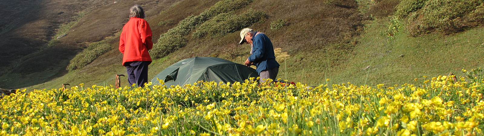
Camp in Kinnaur
Share on Social
THE LANGUAGE OF THE MOUNTAINS
First Ascent of Rangrik Rang, Kinnaur
(1994)
Alexander Csoma de Koros, the Hungarian scholar, had stayed for many years at the Kanam monastery in Kinnaur. He was the first scholar to translate from Tibetan to any European language.1 Koros spent his days alone, looking at high peaks across the Satluj river, above the Charang gompa. These peaks perhaps spoke to him in a language that he understood. It was this group of peaks that we (the Indian-British team) decided to attempt in 1994.
These days when climbing a mountain means more than exploring a region, we were lucky to find an area which offered us both climbing and exploration. I had first known of the Racho group of peaks that we sought during a visit to the Baspa valley in 1986. I could not see the peaks, but on the map three high peaks were marked.
My search to locate any photographs of these peaks failed. All I managed to dig out was a distant photograph taken by me from the slopes of Kalanag (6387 m) in western Garhwal. Still it was a matter of conjecture as to which of our peak was amongst the several seen in the cluster.
‘The fact that we do not have any photograph of the peak is a definite advantage. The harder it is, the better it is’, Chris Bonington replied when informed about the non-availability of any photos or information. In this spirit, we set course with the British. Kinnaur had recently been opened to foreign climbers with the ‘inner line’ being relaxed. The last known expedition involving foreigners here was in 1933 when Marco Pallis passed along the Satluj.
Bonington, pushing 60, arrived in Bombay in late May. We had known each other since the days of the Panch Chuli expedition, 1992. With him were five British climbers, some old friends and some newcomers to the Himalayan scene. We organised a special puja (Shashtipurti) at Bombay in a Hindu tradition of thanksgiving on Bonington’s 60th birthday. It was a moving affair. We also wanted the British to experience the best of Indian hospitality (a dosa party) and tried to recapture some pleasures of the Raj. A comfortable air-conditioned train journey, followed by a ride in the Viceroy’s rail car to Shimla brought back the nostalgia. A special bus brought us to the roadhead, Thangi (2645 m), without any hitch. On the way, we stayed a night at Sarhan, the headquarters of the Indo-Tibet Border Police. Mahendra Singh, the area Deputy Commandant, gave us some bad news.
‘You cannot go via the Mangla Khad, in the east. It is too close to the Tibetan border’. The best route to our peaks was closed! With a wry smile he added, ‘You can try the two valleys in the north,’ pointing out to two steep glaciers and faces marked on the map. He hurriedly rubbed out the old ‘inner line’ demarcations from a rough sketch we had made. Openness of minds takes a long time to follow after opening of an area. Again we were back to: ‘the harder it is, the better it is.’
We arranged the required donkeys, and a three-day walk-in started from Thangi on 3 June. Walking leisurely via Lambar (2875 m; 9 km) and Shurtingting (3410 m; 12 km) we reached Charang (3600 m; 7 km). The village and the surrounding area was once part of the Chewrang province of Tibet. The local population, all Bhotias, carried on trade with the Guge district of Tibet over the high passes of the Yamrang la and the Gunirang la till the Indo-China war stopped all access. Ambassadors of the great lama Atisha had reportedly visited Charang and established there a centre of learning and worship. The Charang monastery, called the Rangrik Shungma, is considered to be the most holy one in Kinnaur.
At Charang the old lama was a great source of information. He told us a legend about how the Charang monastery was built overnight by God, acting as a yak-herdsman. With ethereal wisdom he added, ‘The gompa may have actually been built by men; after all this is only a legend. But the mountains, they were surely built by gods.’ We decided to call our peak 6553 m ‘Rangrik Rang’—the mountain moulded by God.
The old lama was excited about talking to the Britishers, the first white men in the area after a long time.
‘Under the Raj, the British officers did not speak our language. To us the Raj made no difference, it was only people speaking a different language. Do you all speak the same language?’ We hoped so.
What little we had seen of our mountain was certainly enough to warm us to the challenge. A little before Charang the Racho group had come into view. Maps were taken out and looking through binoculars, everyone talked in hushed tones. It was not one to be climbed in a hurry. The main party halted at Charang for a day on 6 June. Two recce parties left to investigate the approaches to our peak through the Racho khad west and east glaciers. The first one where Muslim had joined Chris, Paul and Jim Fotheringham returned having found no route to approach the peak. The second party, where Divyesh had joined Little and Lowther, returned with encouraging news. After some discussion it was certain that only one route was feasible and we all would be climbing together, unlike past Indo-British ventures where everyone climbed according to their inclination and ability.
Base camp (4170 m; 6 km) was established at the junction of the two Racho khad valleys and a kitchen set up, ably managed by Kumaoni porters. Loads were ferried by porters and members to the advance base camp (4870 m; 6 km) which was on the moraine of the Racho khad east glacier. At these camps the main figures were Vijay Kothari, a regular member on all our trips, and our liaison officer Joginder Singh Gulia. Both of them managed the affairs of the camp so efficiently that the rest of us could concentrate on the jobs at hand. Jogi particularly, handled all events with maturity.
The expedition fell into a routine. Jim Curran, with a sense of humour to match his bulk, was busy video-taping the proceedings. Both of us climbed to an ancient Survey of India cairn to observe our peaks.
‘Curran, do you realise that you are walking down the footsteps of history’, I remarked.
Looking down to the steep drop Curran replied cryptically, ‘I don’t want to take too many steps and become history’.
Paul Nunn who was with me in 1991 in the east Karakoram, made a great team mate. He was a diplomat par excellence, saving many situations with his tact. Along with them came Geoff Birtles from Sheffield. He is the editor of the High magazine, and whenever I talked to him I began with ‘Dear Editor’ as if writing a letter to the magazine. Our expedition was peppered with cricket matches, bridge sessions, fiddling with Chris’ computer and of course puja.
At the ABC we investigated different approaches to the mountain. Ultimately it was the route to the east col and the northeast ridge that was selected. Accordingly loads were ferried to the foot of the col to Camp 1 (5260 m). After an interruption by bad weather we started fixing the ropes to the col. Little and Lowther, supported by Divyesh Muni and Pasang, fixed the first section, before coming down to ABC for rest. The next section was taken over by Paul and Divyesh with Pasang. It was interesting watching them fix ropes from one rock island to another. The crux of the climb was overwhelming, the huge cornice seemed steep and threatening. That was left to Fotheringham and Bonington. Inching slowly ahead they fixed ropes to finally reach the col. It was this lead that opened the route to the summit.
As we gathered for rest it was evident that all of us would have to climb together on the same route. The six Britishers were raring to go. Muslim Contractor is an old hand at climbing and after a decade of Himalayan expeditioning was the most dependable climber and trouble shooter. Divyesh Muni had climbed higher than most amongst our joint team, with several technically difficult climbs to his credit. They were obvious choices for the summit amongst the Indians, with Pasang Bodh (from Manali) joining them.
As the others moved up, I spent a relaxed day at Camp 1 with Bonington and Fotheringham. Bonington was full of enthusiasm. Looking at the mountains he jumped like a child. After overcoming a personal illness he was looking forward to pushing ahead. Jim Fotheringham was nicknamed ‘Lama Saab’ thanks to his interest in meditation and being a Buddhist. Apart from being a strong climber and an old friend, he delighted in discussing anything spiritual. As they left for Camp 2 (5760 m) on the col on the 19th, Kaivan and I started our little forays on the surrounding peaks. This was christened ‘roaming on the glacier’: Indians are allowed to climb any peak in the area without restrictions.
First we climbed Mangla peak (5880 m) on the watershed over the Mangla khad. The going was mainly over steep scree with exposure at several places. On reaching the ridge we enjoyed spectacular views till the top. All the peaks and passes on the Tibetan borders were visible. It was worth the trouble to distinguish different peaks and valleys never observed before.
On the 20th, we left for Kimshu (5850 m), which was above ABC and divided the Racho valleys. After the north col I separated from the rest to climb Kunda (5240 m). Kaivan, with Prakash and Khubram, proceeded on the north ridge of Kumshu, reaching within 100 m of the peak. All along, our eyes were fixed on Rangrik Rang where the real excitement was.
Summit day
The entire team of 6 Britishers and 3 Indians dug into Camp 2 on the col on 18 June. The next day they moved up in groups to Camp 3 (6000 m) higher up on the ridge. The summit was climbed on the 20th. Each group started one after the other. Curran dropped out after one rope-length and Paul joined Muslim Contractor. The ridge, facing northeast, received the sun from the very beginning and as a result the snow conditions were poor and at times dangerous with unconsolidated snow lying on ice. At about 6200 m a short, steep ice wall on the ridge had to be climbed. A fixed rope was left on this section. Beyond the wall stretched the ridge. It was around 2 p.m.
The view was magnificent with the mountains of Garhwal, Gangotri, Kullu, Spiti and Tibet stretching out in a superb panorama. The summit itself was quite flat, with space enough to pitch a few tents. Even more amazing, at the side of some rocks, was a small pool of water. The team spent a couple of hours there before starting down, getting back to the top camp at about seven in the evening.
As Kaivan and I watched from the ABC, small black-dots appeared on the col, slowly inching their way down. Thank God for those fixed ropes, else some could have found it extremely dangerous to descend, if not fatal. Soon individual climbers emerged and the celebrations started. We sat around a fire, listening to stories of a most satisfying climb.
It was now time for the last puja at base camp, which invited comments from Curran; ‘At this rate our film will be screened as a religious programme.’ But we did have a lot to be thankful for. An unknown area explored, the first ascent of a high mountain, no mishaps—a satisfying experience. And we all spoke the same language, the language of the mountains.
Notes & References
- See note on Csoma de Koros in Appendix A.