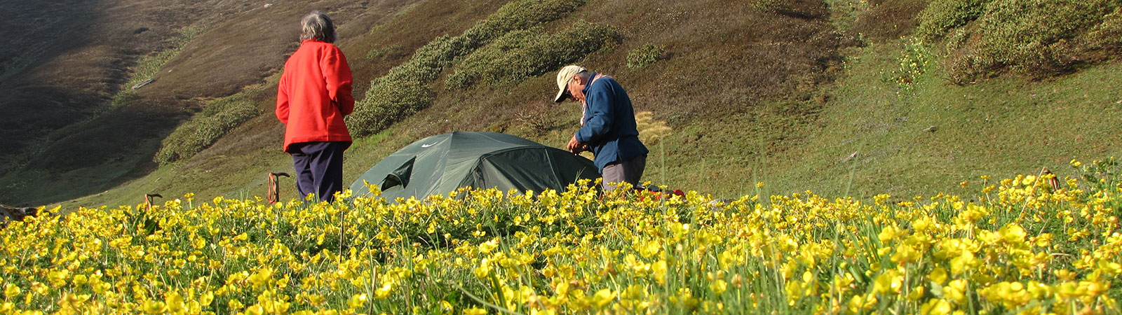
Camp in Kinnaur
Share on Social
A Note on Kinnaur
1986
KINNAUR CONJURES UP memories of the unknown and inaccessible valleys of the Hindustan-Tibet road; of the gorge of Satluj, and strange customs. It was a well-known district where Rudyard Kipling’s Kim travelled to on his famous mission. But things have changed drastically since the time of Kim. Obnoxious ‘progress’ has taken over. But everything about it is not obnoxious. It has opened many advantageous possibilities for trekkers and mountaineers. While it previously took about two weeks of trekking to reach Kinnaur, now the National Highway No. 22 runs along the Satluj and is kept open almost throughout the year. One can take advantage of this to trek and climb in the beautiful district.
The earliest travellers-explorers to Kinnaur were the Gerard brothers in 1818.1 Few others passed on the Hindustan-Tibet road. All the early writings are on how to reach Kinnaur and dangers along the road.2 It was left to Marco Pallis in 1933 to bring these valleys to the notice of mountaineers through an article3 and a book.4 He climbed Leo Pargial and travelled on the Hindustan-Tibet road from the Baspa valley, crossing Lamkhaga pass on the way from Gangotri. There were many pilgrims who went around the Kailash massif clockwise, from Tirung valley; over Charang Ghati to Baspa and back. The tradition continues even today. The army and the Indo-Tibet Border Police (I.T.B.P.) who were the only ones allowed into this restricted area until recently, made many climbs.
Kalpa, situated in the centre of Kinnaur is the district headquarter. It has one of the finest views one can have while enclosed in a comfortable bunglow. ‘From the forest bungalow at Chini, 2820 m above sea-level and 145 miles from Simla along the Hindustan-Tibet road, the Kailash massif is seen to advantage. The snow-fields are so close that in spring the reflected light from the snows is painful to the eyes, while during the monsoon the sound of falling avalanches can be heard all day long.’5
Incidentally the old name ‘Chini’ was hastily changed to Kalpa, just in case the Chinese had some other ideas! About 760 m below Kalpa is Rekong Peo. It is developing as the central bazar and administrative town. There are many buses which pass on the Hindustan-Tibet road; from Simla to Wangtu (where the inner-line begins), Karchham (turn southeast for Sangla, 17 km). Powari (for Rekong Peo (6 km) and Kalpa (13 km) in the north Akpa (for Morang and Tirung valley in SE), Shi Asu Khad (for Ropa valley in NW), Puh, Leo and Chango (for Leo Pargial in the east). The motorable road goes ahead to Kaurik, Sumdo to enter Spiti and reach Kaza.
An afternoon bus from Kalpa will reach Simla on the same day and Chandigarh the next morning. These developments, have opened up many possibilities for the local people and these valleys are far more accessible to mountaineers. And luckily it has not taken a heavy toll of the forest cover, culture and peace.
A lot has been written on the cultural aspect of Kinnaur. A fusion of Hinduism and Buddhism exists almost in totality. Every village has a temple and gompa and all worship both. Various primitive traditions, beliefs and superstitions survive. Legends are held in awe. Though a large population is educated, many serve in the army, but you may be fined a sacrifice of a goat if you sit on a temple parapet with your shoes on! Human sacrifice was offered to the goddess in the earlier times and one can see a special square built for the purpose. Now animal sacrifice takes place regularly.6
Kinnauri architecture is a thing of beauty to behold. Perched on a hillock, Kamru Fort or some exquisite gompas and temples leave one breathless. It has plenty of fruit orchards and the valleys are rich and hospitable.
For such a large district where people have travelled for years, it is not possible to record its mountain and mountaineering history exhaustively. What is attempted here is a brief resumé of possibilities in different valleys, important recorded history and updated information about approaches. This is based on the recent travels, treks and climbs.
Satluj literally cuts through the Himalayan chain near Shipki la and then runs through Kinnaur in the centre. There are four major valleys to its southeast and east.
Baspa valley
Captain Conway called this: ‘. . . . the most lovely of all the Himalayan valleys’.7 Many would agree with this. Many have visited this valley; for it is connected by famous passes to its south with Garhwal. The important passes are:
- a) Buran Ghati : Sangla to Pabar gad
- b) Rupin Ghati : Sangla to Rupin gad
- c) Nargah Ghati : Sangla to Nargani khad
- d) Singha Ghati : Mastarang to Supin gad
- e) Khimloga Pass : Chhitkul to Supin gad
- f) Borasu Ghati : Nagasti to Har-ki-Doon
- g) Lamkhaga Pass : Upper Baspa valley to Harsil
All these passes offer possibilities for trekking, small peaks and grand views. They have been crossed from time immemorial.
There are also two major passes which lead to Tibet. The famous one is Yamrang la (5570 m) and a little to its south is Gugairang pass.
For mountaineers the upper Baspa valley offers a lot by way of shapely peaks. Generally they are all around 5600-5900 m with about 5 peaks rising above 6000 m and the highest up to 6227 m. Many have passed through this valley but the climbing history is brief; perhaps due to the lack of higher peaks.
Col. Balwant Sandhu led an expedition here in 1976 which climbed Pk 6215 m and another peak north of Sui Thatang.8 Other visitors were: Jack Gibson on two trekking visits,9 Yamrang la visited in 197810 and Soli Mehta across Lamkhaga pass in 1966.11
The I.T.B.P. has been in the area for many years. Some officers have written warmly and authentically about the area.12
The I.T.B.P. has reported two climbs in the Baspa valley. These are amongst the three high peaks north of Dunthi. But unfortunately no accurate or written record is available and only local units confirm the climbs.
A good motorable road branches off at Karchham to Sangla, 17 km. It is extended further to Rakchham, 14 km and Shushung Khad, (13 km) 4 km short of Chhitkul. Buses ply regularly till Sangla and mostly further up till Shushung Khad. In a year or two the road will reach Chhitkul.
Tirung Valley (Tidong)
A valley north of Baspa. It has close connections with the Baspa valley across the Charang Ghati (5242 m). It runs in the east to Khimokul la (Gunrang la) to Tibet. A jeepable road leads from Morang to Thangi. Ahead, the road is being constructed till Charang.
Thangi has been used as a starting point to attempt the peaks in the Kinnaur-Kailash range. It also gives access to Phawararang (6349 m) which has been climbed a few times.13 Towards the northeast of Thangi lie two shapely peaks, both awaiting climbers. Sesar Rang is 6095 m and an unnamed peak 6248 m, both on the Tirung-Gyamthang divide.
Kinnaur-Kailash Range
This is the most well-known range in Kinnaur. But perhaps it is the most misunderstood. The locals and maps are very clear that peak Kailash is 6050 m seen near a ‘Pillar’ from Kalpa. This peak is Kailash and the pillar worshipped as the holy Kinnaur Kailash, being in form of Shivling. The highest peak Jorkanden (6473 m) is to its southeast and is generally confused as Kinnaur-Kailash. The accompanying panorama should clear the nomenclature.
Jorkanden received various attempts and ascents. After the recce by P.R. Oliver in 1931,14 it was attempted by the Indian army four times.15 The first ascent was made in 1974 by I.T.B.P.16 followed in a month by the army.17 Since then it has been climbed by the Indian army again on 13 June 1978 led by the late Major Kiran Kumar.18
Gyamthang valley (Nisang)
An unknown valley to the north of Tirung valley. It leads to Raniso pass (for Tibet) and has one peak of note, 6063 m above Gangchha. On the same ridge further to the east lies Gang Chua (6288 m). It was climbed in 1974 by an army team from the Hojis Lungba valley in the north.19 The valley is approached from Kanam. To the north of this there are no mountains of great height till Shipki la and the gorge of Satluj and its meeting with the Spiti river north of Puh.
Leo Pargial (Hangrang Valley)
This peak at 6791 m is a high landmark north of Shipki la. Situated on the Tibetan border, it has been an attraction for mountaineers for many years. It was reported to be recceed by Gerard brothers in 1818 and was first climbed by Marco Pallis and C.E.T. Warren in 1933. It was attempted several times by the army at first, climbed by them in 1967, 1975 and 1980.20 I.T.B.P. made the third ascent in 1971.
The peak was attempted by civilian parties numerous times and climbed twice in 1982.21 It had the principal approach from Nako and another was recceed from Chango.22
There are numerous peaks around it from 6173 m to 6816 m (Leo Pargial II). There were discussions about its correct name and height,23 all laid to rest by the latest Survey of India map (1975) which has adopted the above spelling and height.
Northwest Kinnaur
To the northwest of Satluj, lie the other parts of Kinnaur. The gentle valleys lead to divide with Pin valley (Spiti). It has numerous passes which would afford many pleasurable trekking routes but no climbing higher than about 5900 m. The important passes are as under:
- a) Tari Khango pass : Bhabha valley to Pin-Parvati pass.
- b) Larsa Way pass : Larsa Garang (Taiti Garang)
to Pin valley.
- c) Ghunsarang pass : Ropa valley (to northwest)
to Pin valley.
- d) Manirang pass : Ropa valley (to north)
to Mane valley.
The known passes for the trekkers are Tari Khango over which the Indo-New Zealand Himalayan Traverse expedition passed in 1981.24
Historically, Dr J. de V. Graaff reached Manirang pass in 1952 and climbed Manirang peak (6593 m) to its northeast. I.T.B.P. repeated the climb in 1976.25 The only other peaks climbed in the area are Manirang South in 198226 and 198627 and an unnamed peak 6223 m to the north of Manirang in 1973.28 There are numerous peaks around 5500 m to 6000 m in the area which have not been touched. It is evident from this brief description, that in Kinnaur many trekking and climbing opportunities await mountaineers. There are many side valleys, peaks and passes which are inviting, unexplored and certainly unrecorded. With the development of roads, the valleys of this beautiful district are one night away; of course one will have to solve the problem of the inner-line permits, lack of porters and lack of information. But then it is no paradise which is gained easily. Even Kim had to hustle with Hurree babu to gain access here.