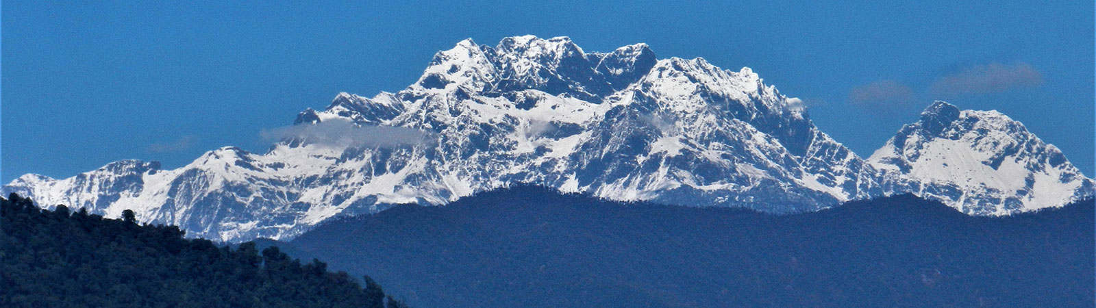
Holy Takpa Siri mountain
Share on Social
THE EPIC OF CHAUKAN PASS
2012
Wild elephants are known to have used Chaukan Pass as an ancient migration route linking populations in Assam and Burma. The giant footprints of the pachyderm are still more likely to be spotted in stream side mud than those of homo sapiens. This is one of the areas of the world in the twenty-first century, which can claim to be largely unexplored. As one of those who survived the desperate journey of 1942 wrote afterwards:
‘Now we know why this stretch of country is uninhabited for 100 miles. Not only there is no trace of men, but mammal and even bird life is conspicuous by its absence: truly a forgotten world, where solitude reign supreme.’
Diary of Millar IOR/M/3/1180
Exodus Burma by Felicity Goodall, p. 214
One of the groups fleeing the Japanese army consisted of the British who were trapped at Fort Hertz (now known as Putao) in north Burma. Advancing Japanese troops may overrun Fort Hertz if they waited till the monsoon period passes. So in heavy rains they left Putao with Mishmi guide and porters to cross the Chaukan pass, nearest to their location.
They had to come across the junction of the Patkai and Kumon range through dense forest in heavy rains. More than 230 Britishers crossed over from here with Sir John Rowland including a three month old new born child. They had to flee in June, when it was warm but at the height of monsoon, with flooded river and leeches, snakes and malaria mosquitoes. Once across the pass their progress was almost reduced to a crawl, covering just about 2-3 kilometres per day. There were no villages and the trail almost unknown. Finally they were stopped by Tilung Hka, the first major tributary of Noa Dihing.
A party of two persons had gone ahead and reached Miao, to alert the authorities about the plight of the trapped party, and a rescue was organised. Food was airdropped to them whenever the weather was clear. A party led by Gyles Mackrell, from the Indian Tea Association of Assam, mounted a major ground rescue with several elephants. He was accompanied by troops from Assam Rifles, all sturdy Gorkhas who excelled in helping the rescue efforts. At one point the refugees were stranded on an island near the Dapha Hka (river). Elephants with the Mackrell party, surrounded the island and rescued all of them on the backs of elephants. The island was soon washed away. This rescue saved many lives. As they neared Miao ground support increased and food was sent by porters and progress to safety was faster.
These efforts by men and animals saved many though about two dozen perished. Finally a haggard party reached the Lekhapani-Ledo railway line and onwards to safety. This was the Epic of Chaukan pass.[1]
In 1961, a year before the Chinese invasion, Indian army mounted ‘Operation Srijitga’ to reach the Chaukan pass. They too encountered many difficulties and the party led by Maj.Gen. Guraiya finally reached the Chaukan pass on 27 November 1961 and planted the Indian flag.[2] After joint discussions with the Burmese authorities Border Pillar No. 183 was erected here in 1971 with the ‘Watershed Principal’ being followed. All rivers from this horse shoe basin flow west-northwest into the Noa Dihing, which then flows into Assam as the ‘Buri Dihing’. It then merges with the Lohit river and finally into the Brahmaputra.
To occupy the area permanently many Nepali families of retired Assam Rifles personnel were settled here with full government support. Large grants and land was given to them. Food was supplied to them through helicopters and AN 32 planes,(even today) and the Miao-Vijaynagar road was built in about 1972 (not fully functioning till today). Several native Lisu tribal families, who were originally migrants from Burma settled here over decades, much before India-Burma boundary demarcation.
During Feb to April 2000, a party of scientists from Anne Mane Foundation, Bangalore wanted to research routes of elephant migration between India and Burma. One of their aims was to reach Chaukan pass. Due to difficulties they stopped at least three days before reaching the pass.[3]
Our Epic of Chaukan Pass
We drove to the Deban tourist lodge located in the Namdafa Sanctuary. Facing Namdafa river and on banks of Noa Dihing it was well situated to observe birds and wild life. Dapha Bum peak (4570 m) is seen towering over the river valley from here.
The Noa Dihing was a beautiful river, now serene and blue, surrounded by forest. In monsoon it must be a terror with flooding water and crumbling sides. The valley is adjoined on three sides by the Burmese territories and for generations it was ruled by the Ahom kings of Assam. This land was occupied by the Singhpos, who were akin to Kachins of the Hukawng valley of Burma.
In May 1825 Burmese forces advanced through the passes to reconquer it from Assam. The Singhpos who dealt in slaves, a policy not tolerated by the British, feared that they may be expelled from land they owned in the Brahmaputra valley, so they turned against the British and joined the Burmese forces. The invaders had reached lower Noa Dihing and built defences there. They were met by Captain Neufville with 300 Sepoys and two gunboats at Dapha. A strong stockade position was held by many Burmese soldiers and few cavalry. Capturing these positions the British force proceeded upstream. They met a larger force of Burmese and Singhpos at Bisa, about two miles upstream on a tributary of Noa Dihing. In a brutal fight Burmese were defeated and Singhpos scattered. For next decade the British held all the passes on the Patkai range and cleared the valley from occupation by the Singhpos and Burmese.
Later Daphna Game, one of the four prominent Singhpo chief crossed the Patkai range from Hukawng valley and attacked Bisa. The British reacted strongly and repelled the rebel after a stiff fight and loses on both sides. A permanent British post was now created at Bisa. Most of the Singhpos returned to Hukawng valley in Burma where slavery was prevalent.
A detailed survey for India-Burma railway line was undertaken in 1896. A strong force with the surveyors crossed the Patkai range to the Hukawng valley and joined it with a similar survey party in upper Burma. However the survey for a railway line remained on paper only.[4] The Noa Dihing valley remained part of the British empire and later became part of India.
On 13th January 2012 we drove on the Miao-Vijaynagar road or ‘MV Road’ for a short distance. We first stayed at 40th mile, all stops are named as such. We met our Lisu porters here and now on we had to now walk about 117 kilometres to Vijaynagar. The first taste of this road was enough to send the weak-hearted back home. It was a hell road, with deep sticky mud everywhere. Powerful four wheel drive trucks had to be pushed by bulldozers to proceed. While walking if you get off the road you can slip in a culvert and if you step on the other side it was in knee-deep mud. Shoes were stuck in, walking poles fell apart and clothes were as dirty as they can ever be.
On the second day we went down to the river and crossed the ‘Burma nala’ on a swinging bridge. The route ahead, along the river, was a delight to walk for few kilometres, passing the Lisu village of Ngawazah where we tasted the local fruit Thazi (Persimmon or Sharon) . Crossing the Noa Dihing on a couple of scary stilt bridges, called dahlons, we reached the village Nibodi (‘52 miles’) , where we camped on an open ground. Next day we had to return to the muddy MV Road. For the next three days we were entirely on the road camping on clearings (at approximately 55 miles,62 miles and 69 miles) by the side of the road with a water source nearby. Small thatched huts of locals along the road sold tea, biscuits and some sundry stuff . Large fish were seen hanging in many of these shops available for sale. After 62 miles, a futile attempt to hitch a lift on a truck ended in disaster when the truck itself got stuck and even the bulldozer could not move it. On the fifth day of the trek, we descended from the road to a beautiful campsite right on the river bed close to the village Sichodi through which we walked past the next day. It is a wonder how these remote villages survived with meagre supplies and in heavy rains with such a muddy road.[5]
From Sichodi, climbing steeply through the jungle, we were back on the road and back to mud. The valley opened up as we neared Gandhigram, named after a small statute of Mahatma Gandhi installed here. It seems decades ago two or three statues of various leaders arrived for installation. No one could recognise the statue of Gandhi from the lot. Finally another statue was flown in with words ‘Gandhiji’ written on the back, which can still be seen. The original name of the village ‘Shibudi or Shidi’, was now renamed as Gandhigram. We spent a day at Gandhigram going around the well laid out village and eating some delicious locally grown pineapple and sugarcane.
It was a peaceful village and with friendly Lisu villagers. Ahead there were the clean villages of settlers- Nepalis retired from the Assam Rifles, named Ramnagar. They looked prosperous, a pleasant surprise, as the only contact with civilisation was through irregular helicopter flights. Above to main road seven kilometres to the northeast is Pritnagar, a small village known for its beauty with a small lake.
The last 18 km road travel to Vijaynagar was relatively pleasant. We spent a night at Vijaynagar, at the Assam Rifles post near the airstrip. The original name of this village was Dawodi but the name was changed in honour of Maj.Gen. Guraiya’s son Vijay. On northeast was the Kumon range and southwest the Patkai range, and almost where both these ranges meet was the Shawngshan pass (and peak) (3287 m). This pass south-eastfrom Vijaynagar, led to the Hukawng valley of Burma while the Chaukan pass led to Putao in the northeast. It was said that relics of a Buddhist stupa and images had been discovered in the vicinity of Viyaynagar. No one had any knowledge of it now. The area was earlier known as Jahu-Natu.[6]
Final Approach to Chaukan Pass
That night at Vijaynagar we sorted our gear and replenished some of our essential rations. One young guide from Assam Rifles was hired., He knew the route but with youthful energy he always went ahead at ‘army speed’ leaving us looking for him!
Jungle and a Woman
…..jungles vary so considerably, that it is difficult to give an apt general description. Perhaps the best way is to compare the jungle with a beautiful woman, the pin-up dream girl in full technicolour , cool, alluring, attractive to look at, but, once approached and negotiated with, full of greatest possibilities of danger and death to the unwary. This simile is particularly apt because, like the figure of the pin-up girl, the jungle is never flat.
Lieutenant Colonel O.G.W. White DSO
True to the above quote, route ahead was beautiful, exploratory but dangerous. This was the real stuff- the trek on thin trail along the Diyun river (as the Noa Dihing river is known here). Nothing had changed in last seven decades in terms of trail and difficulties en route. Climbing steep ridges, descending wooden ladders, crossing single log bridges required a good balance and a strong heart. To avoid regular crossings we constructed about 16 small bridges to cross the river between different banks and avoid serious climbs. Our Lisu porters, specially Gisa as the chief engineer were marvellous at this local engineering. It was tiring and tense all along as we had to climb and descend regularly. At many places the trail had to be cut, log bridges installed at sides to cross along the bank and cross many fallen tree trunks. We stayed at River camp, Bheda, Thapa and finally at the base camp, all names given by the Assam Rifles patrols, the only ones to visit the pass annually. Being January it was cold at night but with so much wood around and supported by strong, helpful and energetic Lisu porters nothing can stop you. The forest was a joy and fear both combined. No animals or birds were seen – the possibly Lisus had ate them all over many generations ! However we could hear calls by Gibbon monkeys, saw few hornbills and there was much fish in the river. The advantage of trekking in cold season was evident: no leeches, no snakes, dim dim flies and low water level. Finally we were at the foot of the pass, which army had called ‘base camp’. From here the river continued to southeast while our trail climbed steeply along the adjoining ridge. Once at the height the trail followed the ridge to descend across two false passes to the Border Pillar.
On the 27th January 2013 we left the base camp early and climbed almost 1000 m (3300 feet) to the top of a ridge. Then we descended along a forested ridge for more than 500 m (1600 feet) and traversed through Burma in the east. Finally after a 10 hour day we further descended to the historic Chaukan pass (2419 m) and camped near the Border Pillar no. 183 which marks the border between India and Burma, some tents in India and some in Burma, but just a few feet apart !
After almost 70 years from the crossing by the British refugees and 52 years after ‘Operation Srijitga’, we were the next civil party reaching the pass. When we started little did we know that the difficulties had multiplied many fold due to floods, landslides and erosion over the decades.
It is said that the pass was a route used by wild elephants to cross on either side. The pass, where it is marked today, appeared too steep on either side for such a passage. Little before the Border Pillar a wider and gentler crossing point was seen. This appeared to be feasible for such a crossing. Moreover the Diyun river originated near this gentler pass. But only an expert in elephant migration can give a final observation.
On 28th January we reversed the trail from the Chaukan pass, climbed up 500 m and descended 1000 m. In all we had an ascent and descent of almost 3100 m (10,000 feet) over two days to fulfil our dreams.
Systematically and with much concentration we carefully covered the return trail over our newly made bridges, muddy forest trails and slippery logs. Finally we were at Vijaynagar. After a two day wait we were able to catch the helicopter sortie which supplies materials here. It was a 60 minute flight to Mohanbari /Dibrugarh, which otherwise would have taken us at least a week to cover. The historical places passed us in either directions: Hoot pass (to north), Chaukan pass (to southeast), Putao (in far northeast), and Pangsu pass (to south). As helicopter landed at the modern airport we almost stepped out of history to the present.
SUMMARY
Treks to Chaukan Pass (2419 m) on the India-Burma border. Hoot pass (3570 m), Pangsu pass (1136 m) and Chaukan pass (2419 m).
Members- Ms Lakshmi Ranganathan, Rajendra Wani, Dr Nanak Bhagat and Harish Kapadia
Period- January 2012
[1] Forgotten Frontier, by Geoffrey Tyson. (Spectrum Publications, Guwahati, 1992) and Flight By Elephant, by Andrew Martin (expected June 2013). See the movie ‘The Elephant Man’ (rescue of Chaukan pass refugees, Cambridge University)
[2] Dipti Bhalla and Kunal Verma, The Children of the Dawn. Northeast Triology. (Kaleidolndia, Gurgaon, 2011).
[3] See the film ‘The Old Elephant Route’ by Anne Mane Foundation.
[4] History of Upper Assam, Upper Burmah and North-eastern Frontier, by L.W. Shakspear. (Spectrum publications, Guwahati, 2004).
[5] These villages are part of Namdafa National Park. This is their traditional home and any suggestion to shift from the area is strongly rejected by them.
[6] Gazetteer of India, Arunachal Pradesh, Tirap District. Ed. S. Dutta Choudhury, Govt. Of Arunachal Pradesh, 1980.